{{ shopProduct.Name }}
+
_
€
shop.basket.price_total
€
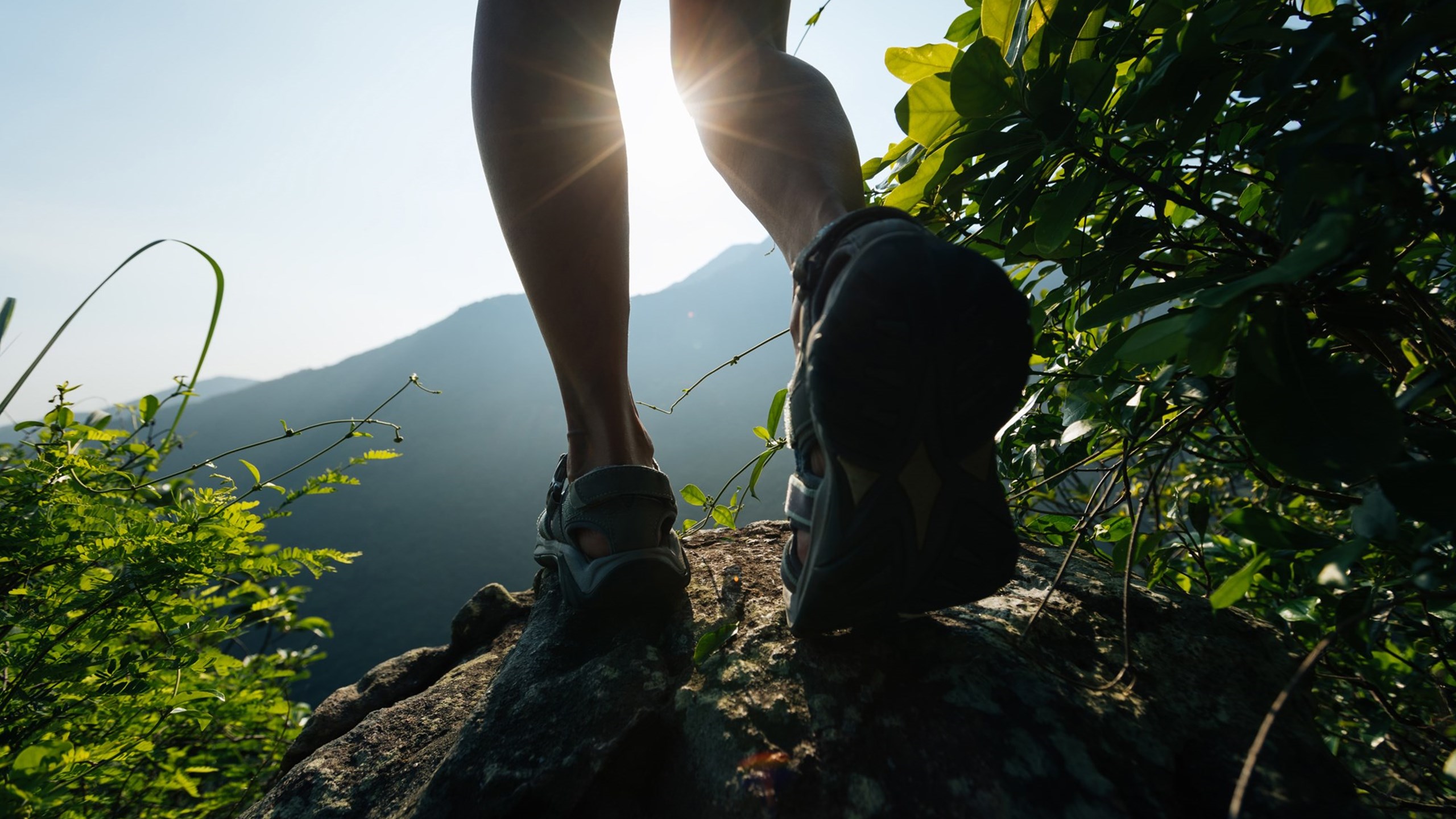
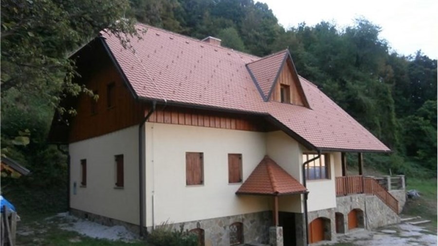
There is a countless number of hiking opportunities in the area. Suitable routes are appropriately marked. Through the region also runs part of the European footpath (E7) and pilgrimage routes (Emina, Marijina and Slomšek), which have become more and more welcome in the last few years, for walking or relaxing, you can choose yourself.

Make almost 1000 m altitude difference and then rest in Boč mountain refuge.

Pass Grill Chapel and Ženjčaj to climb to 881 m high Donačka Gora.

From Zg. Kostrivnica through Saint Lenart climb up Boč peak or to the mountain refuge.
From Zg. Kostrivnica through climb up to Velikonočnica mountain refuge, then go ahead for Boč
Path to Boč, which leads from Zg. Gabrnik via Galk.
Demanding, steep, and shady path to Boč, which begins in Pečica, continues through Zg. Gabernik and Galk

From Saint Ema through Rogaška Slatina go to Saint Florjana. Part of the international European footpath E7.
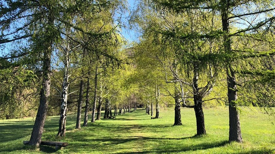
The mountain paths, which are equipped as learning paths, play an important role in the education of hikers on Boč. On these trails, hikers discover life in the forest. Learning paths run through economic forests, forest reserves, past dry meadows, and take you all the way to velikonočnica wild growth area on the Boč level. There are several paths on Boč, but each one of them is meant to walk on foot in a sense of respect for nature. Routes are marked in nature.

Notice the difference between economic forest and forest reserve, see the hunting ground and admire the forest edge that stubbornly conquers the once lost space.

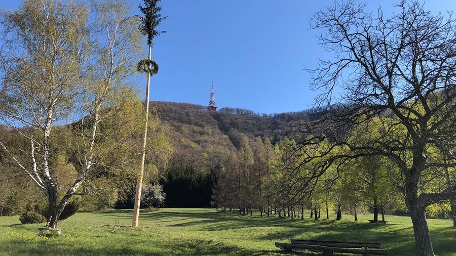
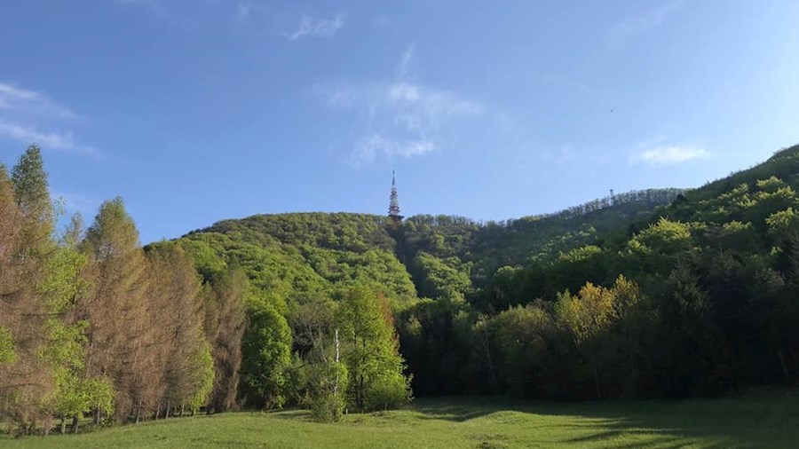
On Boč peak, climb to the viewing tower, from which, in good weather, almost the whole of Slovenia is visible.

Learn about many tree species, see the stork nest, limestone and Finžgar's Cross, a memorial to the locals’ fate.
Subscribe to our newsletter and never miss the latest news about Rogaška Slatina.